Strategically Placing Green Infrastructure: Cost-Effective Land Conservation in the Floodplain
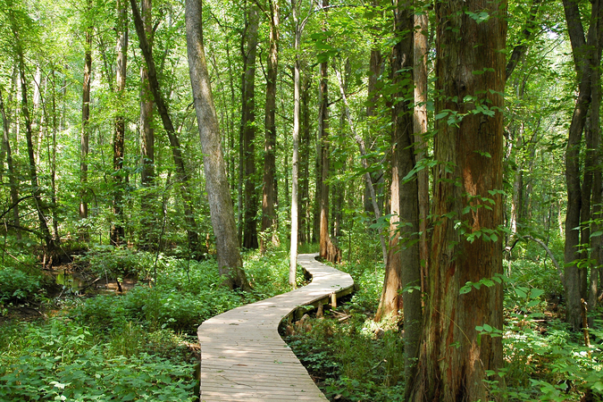
Climate models predict storms and flooding will increase in frequency and severity in many regions of the United States in the coming decades. Strategically placed natural lands and open space—often referred to as “green infrastructure”—can reduce damages from flooding and at the same time provide environmental and social co-benefits, including improved water quality in streams and rivers, protection of groundwater sources, and enhanced recreational opportunities.
A new article from RFF researchers demonstrates that the costs of land conservation can drop dramatically with the right kind of targeting of green infrastructure.
“Stragetically Placing Green Infrastructure: Cost-Effective Land Conservation in the Floodplain,” by Carolyn Kousky, Sheila Olmstead, Margaret Walls, Adam Stern, and Molly Macauley presents an economic framework for evaluating such investments using the Lower Fox River Basin in Wisconsin as a case study..
The authors use detailed data on land use, property values, and flood risk to demonstrate how simple benefit–cost calculations of alternative land use scenarios can be carried out, and highlight the important issue of strategic targeting of parcels for protection. Three alternative scenarios that target parcels based on flood depth, acre-feet of flooding, and acre-feet of flooding combined with assessed values show that the costs of land conservation can drop dramatically with the right kind of targeting..
The original RFF report, on which the article is based, summarizes the literature, covers methodologies that communities may use to estimate the co-benefits of using green infrastructure to build resilience to increasingly frequent and severe floods and precipitation, and offers an assessment of the strengths and weaknesses of alternative land use policy instruments.