Early Detection of Harmful Algal Blooms Using Satellites Improves Management Decisions and Human Health Outcomes
As Americans head to the shores and lakefronts this summer, a new analysis reveals just how valuable satellites-based detection of harmful algal blooms can be in protecting visitors and residents alike.
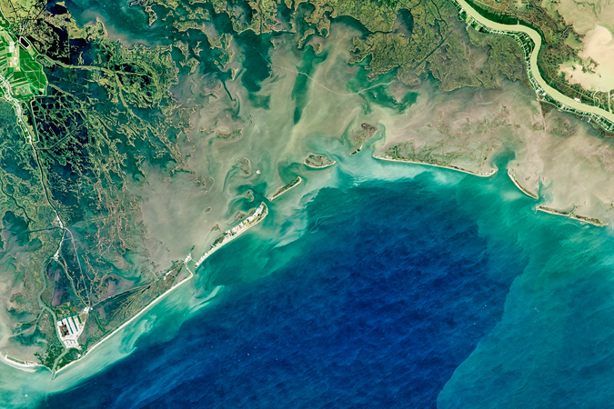
WASHINGTON, DC—Heading to the lake this summer? While harmful algal blooms can cause health problems for lake visitors, satellite data can provide early detection of harmful algae, resulting in socioeconomic benefits worth hundreds of thousands of dollars from one harmful algal bloom event, a new study finds. A Resources for the Future (RFF) and NASA VALUABLES Consortium study published in GeoHealth examines the benefits of using satellite data to detect harmful algal blooms and manage recreational advisories in Utah Lake.
In 2017, toxic cyanobacteria permeated portions of Utah Lake, threatening the health of swimmers and other visitors. It wasn’t the first time; harmful algal blooms (HABs) like this have occurred intermittently at the lake.
Local officials, informed by satellite detection, were able to act quickly to respond to the toxic blooms, resulting in socioeconomic benefits estimated at $370,000 in the form of reduced healthcare costs, the new VALUABLES study reports.
“Using satellite data to detect this harmful algal bloom potentially saved hundreds of thousands of dollars in social costs by preventing hundreds of cases of cyanobacteria-induced illness,” says study coauthor Molly Robertson, a research assistant at RFF. “Incorporating satellite data into the HAB detection strategy for other large US lakes could yield similar benefits.”
The study uses the VALUABLES Consortium’s Impact Assessment Framework, a method that allows researchers to compare the outcomes with and without satellite data to see how new information can improve outcomes for people and the environment. An RFF explainer video lays out the framework and explains how it pertains to HAB detection.
“The impact assessment framework laid out in this study can measure the value of any information that can be used to make decisions,” says study coauthor and VALUABLES Consortium Director Yusuke Kuwayama. “Scientists can use the framework to demonstrate the value of their research, and public officials can use it to make budgetary decisions, such as how much to invest in different information-gathering activities.”
To learn more about the findings, read the GeoHealth article: “Quantifying the Human Health Benefits of Using Satellite Information to Detect Cyanobacterial Harmful Algal Blooms and Manage Recreational Advisories in US Lakes,” by Signe Stroming, Molly Robertson, Bethany Mabee, Yusuke Kuwayama, and Blake Schaeffer.
Resources for the Future (RFF) is an independent, nonprofit research institution in Washington, DC. Its mission is to improve environmental, energy, and natural resource decisions through impartial economic research and policy engagement. RFF is committed to being the most widely trusted source of research insights and policy solutions leading to a healthy environment and a thriving economy.
Unless otherwise stated, the views expressed here are those of the individual authors and may differ from those of other RFF experts, its officers, or its directors. RFF does not take positions on specific legislative proposals.
For more information, please see our media resources page or contact Media Relations and Communications Manager Annie Tastet.