Forest Measurement and Monitoring: Technical Capacity and “How Good Is Good Enough?”
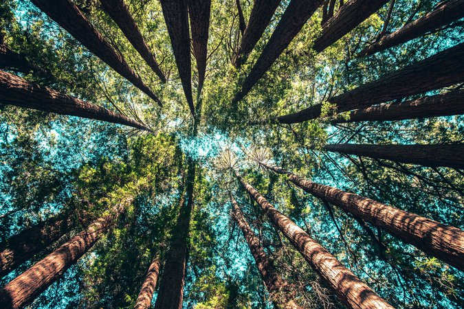
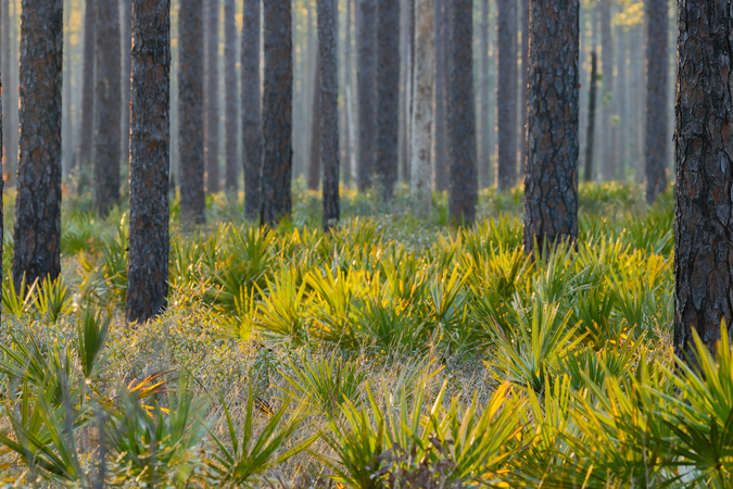
DownloadMost countries lack reliable data on the quality and size of their forests—as well as the forests’ economic and environmental value. Measures of deforestation in tropical countries can be haphazard, and rates of reforestation in temperate countries often suffer from varying definitions.
Even between neighboring nations, methods for forest measurement are inconsistent across borders and at times are wholly incompatible with each other.
In a new RFF Report, researchers from several disciplines assess how remote sensing and satellite imagery can provide real-time and highly accurate measurements of the world’s forests.
The report—Forest Measurement and Monitoring: Technical Capacity and “How Good Is Good Enough?” by Molly Macauley, Daniel Morris, Roger Sedjo, Kate Farley, and Brent Sohngen—describes advances in remote‐sensing and satellite technology that present a new opportunity to generate a worldwide forest “census” using more accurate, precise, and consistent measurements for global forests. The report is organized according to four key categories of forest measurements: forest area, timber volume, forest biomass, and carbon.
“Satellite and remote‐sensing technology combined with appropriate on‐the‐ground measurements form the backbone of an ideal data collection system, but this system is far from being a reality,” the authors notes. “Generating a world forest census will require some changes in funding, institutional coordination, and the priorities of the international community.” In addition, while accurate forest area measurements are attainable with existing technology, improved technology will be required to accurately measure forest biomass and carbon on large scales.
Excerpts from the Report
“The enhanced use of global satellite measurement and monitoring capabilities holds promise as a means of significantly improving measurements by providing the basis for an accurate, periodic, and cost‐effective global forest census. The use of satellite technology has some shortcomings and risk, but the advantages include the potential for improvement in temporal and spatial resolution; standardization of measurement protocols; regular updating of global observations; and transparent, replicable methodology. Yet few forest inventories incorporate satellite‐based measurement and doing so will come at some cost.
“This report considers the question, how good is good enough? In other words, to what extent must forest measurement and monitoring be improved, and what is the state of the technology available now and in the next few years for enabling these improvements? Better data can improve the accuracy and precision of the mapping, but the desired enhancements depend, of course, on the requirements of those who use the measures.
“Part of the answer to ‘how good is good enough’ requires estimates of willingness to pay for improved information about forests. After all, improved information comes at a cost, and how much additional cost is worth bearing? In this report, we do not estimate the value of improved information about forests for several reasons. The value of information is derived from the value of the associated goods or services.”
Authors


Daniel F. Morris

Kate Farley